Product Description
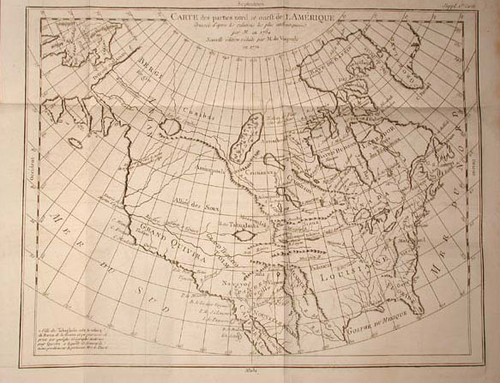
Vaugondy, Robert de; Carte des parties nord et oueft de L'Amerique. Nouvelle edition, Diderot's Encyclopaedia 1772. Folded engraved map measuring 13 inches high by 16 inches wide.
In archival sleeve, very minor toning to outer margin of map with map image crisp and bright.
Originally published in 1750, Robert de Vaugondy shows a northwest passage as "Detroit d Anian" or Strait of Anian. The Missouri River comes in from the west north of present day New Mexico. A "Belle Riviere" is to the north and flows west to the "River of the west" which enters the Pacific at the "Partie Nord-ouest de l'Amerique". The west is labelled "Allies des Sioux".


